Showing posts with label bushwalk lower mts. Show all posts

Oct 11, 2015

Pippas Pass - Blaxland


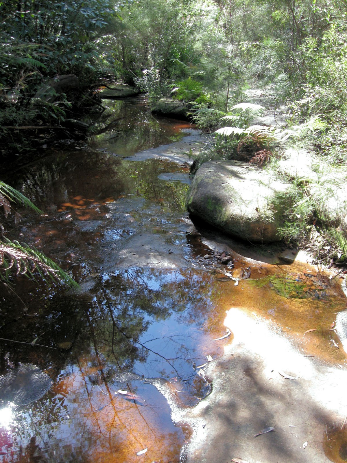
Pippas Pass at Blaxland in the lower Blue Mountains, is an extension of the Florabella Pass walk from Warrimoo. Our aim on this very warm day, was to examine/enjoy/photography some of the Spring wildflowers we came across along the way.


The white flowers above are  Philotheca sp. formerly Eriostemon


The orange-yellow pea flowers are
one of many species commonly known as 'egg and bacon' 


Grevillea sericea


We started this short walk near the Blaxland Library car park. Some of us continued on the track and turned off at the Ross Cr. rock outcrop exit (see 'wildwalks') while others returned the same way.
(Returning to the library via Ross Cr. and the Great Western Highway is ~3.7 Km)


Feb 1, 2013

Fairy Dell walk - Springwood

This short lower Blue Mountains walk, in Fairy Dell Reserve Springwood, is quite near the town centre.

 
Those that enjoy this and other walks near townships, may owe Bushcare and Landcare Groups groups a vote of thanks. These groups are made up of small groups of volunteers that are involved in hands-on environmental restoration work.


Tree near Lawson Lookout


The walk can be done as a circular walk, continuing up to Lawson lookout, which overlooks Magdala Creek Valley, then returning to the town centre along Raymond Road.


Location map
 

Sep 3, 2012

Glenbrook Creek to Red Hands Cave

To vary this well known walk in the lower Blue Mountains, our group descended to Glenbrook Creek down the steep slope from the West Glenbrook Nature Reserve (below left).


We followed the creek (above right) to the causeway. The track along the creek was overgrown until after Blue Pool, and although its picturesque, you don't have to reach the causeway by this route.     (see the links at the bottom of the page).

                  
                                      Glenbrook Creek (above)     Campfire Creek (below)


From the causeway we walked the Campfire Creek track to Red Hands Cave, before returning to the station along Bruce Road via the park entrance.      


             Location map

    NSW National Parks: Red Hands Cave            Wildwalks link     


Jan 14, 2012

Blue Gum Swamp


This letter box attracted my attention as we walked along Whitecross Road at Winmalee, to begin a  walk to Blue Gum Swamp.

The walk in the lower Blue Mountains, is also popular with mountain bike riders and bird watchers. It could be done as a circuit of around 9Km, or shortened to return along the same path. As it was a hot day, we did the latter.


        Yellow drumsticks (Isopogon anethifolius)


The map above was near Whitecross Road Winmalee. We caught a 692W bus from Springwood Station to Winmalee then walked a short distance to the start of the walk.

My thanks to Judith, who led us on this pleasant walk towards the end of last year.
 

Oct 30, 2011

Warrimoo to Sun Valley

On this walk we followed fire trails through the valleys near Warrimoo in the lower Blue Mountains.


Sun Valley is a small, somewhat hidden semi-rural community, not far from Springwood.

Sun Valley Oval & Reserve

Sun Valley Oval (above) is an open area used by the local pony club.  Sun Valley is an unusual landscape, the result of a volcanic vent. The very rich soils have provided excellent native grasslands and magnificent stands of Mountain Blue Gum trees. Reference: Bruce Cameron, Sun Valley, 'The Dictionary of Sydney'


We started this walk at Warrimoo station and walked along Rickard Road, then followed various firetrails through the valley to meet Rosenthel Lane, Sun Valley. We returned to Valley Heights station following a rough reserve track (above) uphill to 'The Chase', then 'The Valley Road'.

Thanks to Judith who showed us this less well known walk.   
                                                        

Apr 26, 2011

Mount Portal Lookout

 This walk is in the Glenbrook section of the Blue Mountains National Park.


Portal Waterhole is on a looped side track off the Mount Portal lookout road.


The Lower Blue Mountains begins here, as it rises abruptly on the western side of the Nepean River.

Mt. Portal Lookout


Mount Portal Lookout overlooks the Nepean River and the Cumberland Plain south of Penrith.
We walked from Glenbrook station, but the lookout can be reached by 4WD.


Tunnel View Lookout

Tunnel View Lookout is a great vantage point with views across to the main western rail line between Lapstone and Glenbrook and of Glenbrook Gorge below. The lookout is only a stroll from the road.

Glenbrook Gorge


WildWalks information Tunnel Lookout  and Mt. Portal Lookout


My thanks to our walk leader John M.

Jul 17, 2010

Florabella Pass - Warrimoo to Blaxland

This interesting bush walk in the lower Blue Mountains was from Warrimoo to Blaxland along the Florabella Pass and Pippas Pass track. We began the 6Km half day walk at Warrimoo station (about 1¼ hrs by train from Sydney), crossed over the highway, turned right and continued past a few shops to ‘The Boulevarde’. Walking along Florabella Street we passed the local Primary school to the start of the walk at the end of the street.


The track was rough and steep as we descended to Florabella Pass, but improved further along the track.


The track followed the Florabella creek, before climbing higher up the side of the gorge and turning more to the east after the junction with Glenbrook creek.

We saw a lyrebird while we stopped for  lunch at the junction with the side track which leads to Ross Street. Our walk continued along the Pippas Pass track, turning off at the exit path which leads up to Blaxland Library.


We passed several cafés on the way to the station, but as the train was due soon we didn't stop for coffee after this walk.


A shorter version of the walk can be done as a circuit starting at Plateau Pde off Bridge Rd Blaxland.
(see Wildwalks 'Florabella Pass Loop')     

 Our thanks to the walk leader John Masser