Showing posts with label beaches. Show all posts

Sep 11, 2014

Rocky Point Island - Balmoral


Rocky Point Island separates Edwards Beach from Balmoral Beach on Hunters Bay, Middle Harbour. The small island is connected to the Esplanade by a bridge, built as a government employment project during the Great Depression, as was the Bathers’ Pavilion.


Rocky Point Island, looking towards Sydney Heads
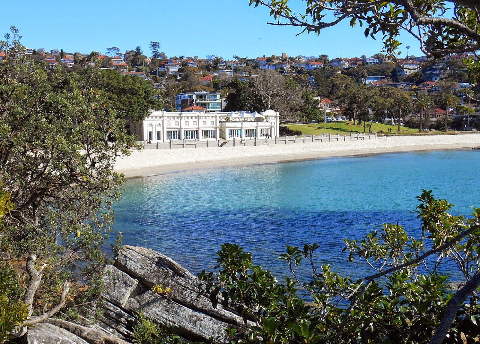
The Mediterranean style 'Bathers' Pavillion' on Edwards Beach (below), was built in 1929, and now houses a restaurant, cafe and function rooms. See also Balmoral to Middle Head post


 I travelled to Balmoral by ferry to Taronga Zoo, then bus from the wharf
and returned by bus to Wynard station.  


  Location Map (Chrome)

Ref: Mosman Historical Society - 'Historic Guide to Balmoral'

May 30, 2014

Nielsen Park and Parsley Bay

This harbour walk in Sydney's eastern suburbs continues on from my last post.        map link

Shark Beach, Nielson Park


Nielson Park  is part of Sydney Harbour National Park, and while the name might put some off swimming there, part of the popular 'Shark Beach' was netted when I visited. (not in photo)

There is a cafe/restaurant (left) opposite the beach, and a walking track within the park.


Nearby Vaucluse House  is 'one of Sydney’s few 19th-century mansions still surrounded by its original gardens and wooded grounds'. It was purchased by William Charles Wentworth, colonial explorer, barrister and politician, in 1827.

A little further on and hidden from the road, is Parsley Bay, a spot I have wanted to visit for sometime.

'The Parsley Glen' pedestrian access, a cable suspension bridge between the two shores of the bay, was built in 1910 at a cost of £500.

The Parsley Bay Reserve enclosure provides a swimming area ~150m long and 95m wide (subject to tidal variations).

Parsley Bay   & Woollahra Library Local History Centre PDF
More walk information

For more photos of this area, see my Hermitage Foreshore post

I caught a Route 325 bus from Edgecliff station. These turn off New South Head Rd. at Vaucluse Rd and go to Watsons Bay


Apr 7, 2013

Gunnamatta Bay - Cronulla

We again ventured to the south of Sydney for this scenic walk, starting only a short distance from Cronulla railway station, around the foreshores of Gunnamatta Bay and Port Hacking.

View from Gunnamatta Park


Checking the tide chart proved useful to follow this section of the shore line, past waterfront homes, to Darook Park.

  Location map 

On another occasion we missed the low tide and had walk via Nicholson Pde. & Darook Park Rd.   GPS trace 


Darook Park

Our 6km walk continued around Bass and Flinders Point, following 'The Esplanade' back to Cronulla Beach, a short distance from the station. 
The train trip to Sydney's only beach accessible by train, took us around 50 minutes from Central Sydney.          

Jan 20, 2013

Manly - Cabbage Tree Bay

I took the first two photos on a Winter's excursion to Manly, while the others were taken on the way back from our North Head walk.

Manly Wharf
Helen Leete is "well known for her public sculptures around Sydney, which include 'Earthmother' in the Royal Botanic Gardens near the Opera House, 'Oceanide' (below) off Fairy Bower and 'Arched Back Bather' at Manly..." 

Helen Leete's - Oceanides


 Cabbage Tree Bay is an aquatic reserve you pass on this easy walk from Manly wharf to Shelly Beach. The Marine Parade walk features miniature sculptures of the local fauna and flora found in  the protected marine reserve and the adjoining wildlife reserve.

                                                                             
Shelly Beach, Manly


Oct 1, 2012

Watsons Bay and Sydney's South Head

  We arrived by ferry at Watsons Bay on Sydney Harbour, as an extension to our visit to Garden Island.

Watsons Bay, Sydney Harbour

          We walked along the beach, passing through Green Point Reserve to Camp Cove, then followed the South Head Heritage Trail which starts at the end of the beach.

Camp Cove, Sydney Harbour


The Hornby Lighthouse at South Head, was built following the loss of many lives from two ship wreaks in 1857.

The gun emplacements, completed in 1854, were never equipped with guns. In the photo below we are looking across to North Head.


Location Map             Wildwalks info.               

Jul 11, 2012

Narrabeen to Mona Vale Headland

We started this coastal walk from the beachside suburb of Narrabeen, around 20Km north of Sydney CBD.
Narrabeen Lagoon


Narrabeen Lakes from headland

                 North Narrabeen, Narrabeen, South Narrabeen and Collaroy beaches
View from North Narrabeen Headland


Turimetta Beach

Looking south from Mona Vale Headland
We caught a bus from, and returned to Railway Square

Narrabeen map                           Mona Vale location map                                 Lake or Lagoon? 

Mar 18, 2012

North Head to Shelly Beach

This excursion began with the scenic half hour ferry trip from Circular Quay to Manly.


At Manly, we caught a 135 route bus from opposite Manly wharf to the North Head Sanctuary.

near Blue Fish Point, looking south.

There is a walking track from the Gatehouse Visitors Centre, through Sydney Harbour National Park to Cabbage Tree Bay. 


In the photo below you can see some of the beaches to the north of Manly. North Steyne, Queenscliff, Freshwater, Curl Curl, Dee Why, Long Reef and beyond, although not all are seen in this photo. We continued down to Shelly Beach and returned to Manly wharf from there. 


Link to my earlier North Head posts


Sep 4, 2011

Coogee to Bondi Walk

This coastal walk from Coogee to Bondi beaches of around 6Km is a popular Sydney excursion. 

Coogee Beach

Gordon's Bay
  Gordon's Bay (above) is between Coogee and Clovelly Beaches         

    
near Mark's Park, Bondi


Bondi Baths & Beach
The pool above is part of the Bondi Icebergs Club facilities, but is open to the public with an entrance fee.

VisitNSW advise "the walk is easy to medium with a steep section and quite a few steps. Don’t forget your hat, sunscreen and some water".     Bondi to Bronte walk information             Location Map