Showing posts with label Parramatta. Show all posts

Mar 4, 2018

WSU Parramatta Campus

This post features some buildings of interest on the Western Sydney University Parramatta campus, at Rydalmere.


The Boilerhouse and chimney, circa 1894 (above) were once part of the steam laundry. They now act as a landmark at Campus Square - with food outlets and recreation areas.


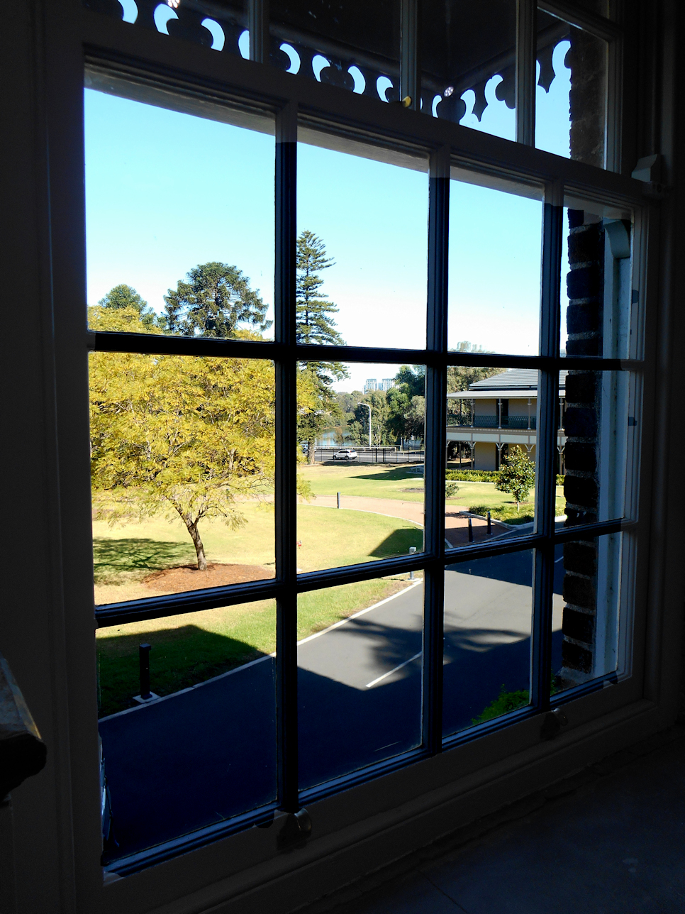
The Female Orphan School building (circa 1818) was modelled on Mrs Elizabeth Macquarie's family home in Scotland. Within the building is The Whitlam Institute. This includes the Whitlam Prime Ministerial Collection and The Margaret Whitlam Galleries - with a changing program of art and social history exhibitions.
1888 the building was set apart as a Hospital for the Insane. It remained part of Rydalmere Psychiatric Hospital until the building was closed in 1969, as it had become increasingly dilapidated.


The Drill Master's Building circa 1868

Medical Superintendent's Residence circa 1870


WSU Parramatta campus is located near the Corner of James Ruse Drive and Victoria Road Rydalmere. We caught a (M52/525) bus from stand A3 near Parramatta station. (10 minute ride).

     Location map                 
                                                                                  
We returned on the RiverCat ferry service.
The campus is a ~30 minute walk from Rydalmere Wharf along Parramatta Valley shared Cycleway, which runs along the Southern side of the campus.

Sep 28, 2017

Lake Parramatta

Lake Parramatta Reserve in North Parramatta is a bushland reserve originally the catchment for Parramatta's water supply before 1910.


I grew up within 5kms of Lake Parramatta but had never walked around it, until recently.


The State Heritage listed dam wall was completed in
1856 and utilises a single arch design

    The Lake Parramatta brochure warns of uneven surfaces on the tracks around the reserve.

Public transport is available via Hills Bus Route #609 (nearest stop on Bourke Street).

          Beyondtracks  Map of 4.2Km circuit              History


Mar 17, 2013

Toongabbie Creek

 in the Upper Parramatta River catchment.


Unless you visit the area, or are a local, you are unlikely to have heard of the 'Redbank Track', which runs along the upper reaches of the Parramatta River and Toongabbie Creek, behind the Westmead Health Precinct.


The photo above was taken at the junction of the Parramatta River, with the Darling Mills and Toongabbie Creeks.


The concrete piers, on both the Westmead and Northmead sides of the Toongabbie Creek, are probably all that remain of the Parramatta to 1923 - 1932 Rogans Hill Railway Line.


The Mons Rd bus bridge is part of the North-West T-Way, which provides a bus only corridor between Parramatta and Rouse Hill.

Location Map

Darling Mills Ck 

Toongabbie Creek

North West T-Way


Our walking group started and finished on the Westmead side of Parramatta Park, near the Wisteria Gardens in the Cumberland Hospital grounds. (This is where they hold their fete in September). We crossed the creek at Redbank Rd. and Mons Rd. to complete a loop. Plant communities along the creek are varied, as it lies in a transition zone between soil types and rainfall areas. While I didn't find the walk along a section of the creek particularly scenic (plastic bags from urban runoff, were snagged in trees along a section), I thought it was worth doing.

Oct 5, 2011

The Ponds Walk

We started the 6.6Km walk at Memorial Park, Marsden Rd. Carlingford. The track passes through Dundas Valley and Telopea, following The Ponds and Subiaco Creeks downhill to Rydalmere.

Galaringi Reserve, Carlingford


This is one of the ponds (above and left) that gives the creek its name.


This is an urban walk, about 15Km from Sydney CBD.
Beyond Galaringa Reserve and Cox Park at Carlingford, the bushland associated with the creeks is quite narrow, so we were walking along a winding green corridor for much of the walk.
It should not be confused with any walk in the suburb of 'The Ponds' near Kellyville


To reach the start of the walk we caught a M54 bus from Parramatta station, along Pennant Hills Rd. to Carlingford (near Marsden Rd.)
The track ends not far from Victoria Rd. at Rydalmere. We returned by bus from there, while the Subiaco Creek flowed a little further to enter the Parramatta River.


Downloadable brochure of the walk available from: Parramatta City Council
Location map

Dec 9, 2010

Parramatta River at Parramatta

Barry Wilde Bridge, Parramatta

These three bridges near the city's centre, cross a short stretch of the Parramatta River above the Charles Street weir, 19Km upstream from Port Jackson.

The bridge in the photo above was named after a former mayor and state politician. The pathway in the foreground is part of the 'Riverside Walk' which leads from the ferry wharf  to the 'Heritage Centre' next to Lennox bridge. Through art and interpretive signs it tells the aboriginal history of the area.


The Elizabeth Street footbridge is an award winning cycle and foot bridge which features an interesting public artwork .

'Wake' by Greg Stonehouse and Susan Milne was inspired by "the gliding movement of oars" and the "flight of birds".


      Lennox bridge (below) was designed by the colony's first Superintendent of Bridges, David Lennox.
It has since been modified but was originally completed in 1839.

Lennox Bridge, Parramatta


                                            See also my 'RiverCat' and 'Parramatta Park' posts     
 
  Location map              Additional photo of footbridge


Jun 3, 2010

Circular Quay to Parramatta by RiverCat

This excursion is on Sydney Ferries RiverCat  catamaran (express service), which takes you under the Sydney Harbour and Gladesville bridges, on a pleasant 20Km cruise from Sydney's Circular Quay to Parramatta City.


The vessels can hold over 200 people, mostly in the cabin area, but they can get crowded, so we chose a weekday for this outing. We were fortunate that we were able to find a spot outside at the bow, as it’s the best spot if the weather is suitable.


The cruise takes about an hour to reach the wharf at Parramatta. The Parramatta River is tidal to the Parramatta wharf and some services don’t run because of low tides, check for affected services before you travel.

From the wharf (photo left) you can catch a free shuttle bus around Parramatta (the bus operates frequently Monday to Saturday). I suggest you catch the bus to Macquarie Street West (stop3), then walk to Parramatta Park and up the hill to Old Government house, Australia's oldest public building. It was the country residence of the first ten Governors of the colony and primary residence of Governor Lauchlan Macquarie. It has a restaurant/café on the site. (See ‘Walk Parramatta Map’ download, page 2).
The previous stop at “Westfield”, has a good basement food court and a connecting tunnel to Parramatta Station to return to the city by train.

Tip: If you are traveling from Parramatta, leave after the morning commuters. 

More photos near Parramatta ferry wharf