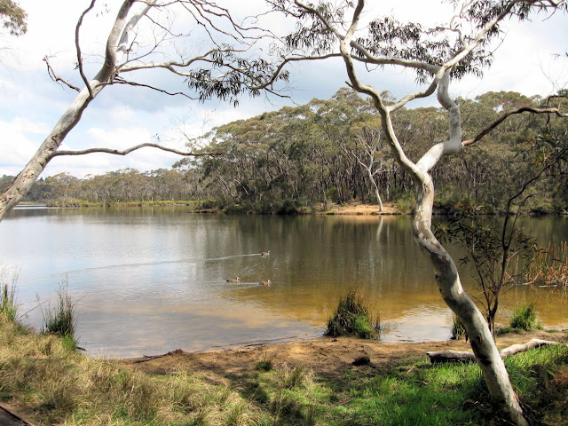
This 6.5Km walk which starts at Smoothey Park Wollstonecraft,
follows a narrow green corridor along Berry Creek and Gore Cove to Berry
Island.
Beencke’s Bridge (left), built in 1964 to replace a wooden trestle bridge,
is named after the Greenwich
stonemason and carpenter who built the original footbridge.
The walk passes through rain forest remnants along Berry Creek, then through open woodland along the Gore Cove foreshore.
The small island was originally joined to the mainland by narrow
mudflats which have since been filled
and a lawn established. The bushland was regenerated and is now maintained
by North Sydney Council. There is a short circular bushland track with
views of the harbour
and information about Aboriginal history.
 |
| Gore Cove from Berry Is. |
Our group had planned to complete our walk back to Wollstonecraft station through Badangi Bushland Reserve but hazard reduction on the day prevented this. This walk can also end at Waverton Station. (
see map)
 |
| Badangi Reserve on Balls Head Bay |
North Sydney Council Bushland Reserves info location map


