Jan 26, 2014

Wendy's Garden - Lavender Bay


Wendy Whiteley created this special spot, known locally as ‘Wendy's Secret Garden’, on an area of railway land below Clark Park. It is currently leased to North Sydney Council for public use. The garden sits above North Sydney car sidings, which are used to store rolling stock between the morning and evening peaks.                     Location Map


Wendy was awarded an OAM on Australia Day 2009 ‘for service to the community through the establishment and maintenance of a public garden at Lavender Bay, and as a supporter of the visual arts’                                           

Our walking group reached the garden from Milsons Point Station via Alfred and Lavender Streets. After visiting the garden, we followed the narrow strip of foreshore which links Quibaree Park to Luna Park and the Harbour Bridge. Continuing the garden theme we crossed the bridge to the Botanic Gardens via the expressway pedestrian walkway above Circular Quay.

 
Lavender Bay from the foreshore walk


Jan 1, 2014

The Norman Lindsay Gallery


The gallery at Faulconbridge, run by the National Trust, displays the work of artist and writer Norman Lindsay (1879-1969). Various rooms of the attractive sandstone cottage house oil paintings, watercolours, sketches, ceramics and ship models. Within the expansive landscaped grounds is 'Lindsay's Cafe' where I enjoyed lunch on my visit.                     


While Lindsay is known for his paintings of voluptuous women in classical poses, he was also a political cartoonist and wrote and illustrated the 1918 children's classic 'The Magic Pudding'.                   Location map


The gallery has a limited bus service from Macquarie Rd near Springwood station (about 5Kms). The 690C bus, currently 11.06am (Mon to Fri), with a return bus at 13.40, should be suitable. Check the Mid Mts Bus timetable

Dec 2, 2013

Euroka Clearing

We began this pleasant day walk at the Glenbrook entrance to the Blue Mountains National Park.

Glenbrook Creek near causeway


Sulphur Crested Cockatoos


We passed through an area with trees showing regrowth after hazard reduction burning (left), before reaching the popular picnic and camping area.

Euroka was cleared by early settlers for farming on the volcanic soil. There are forty camping sites at Euroka spread around five camping areas within the large grassy basin. (Camping sites must be booked)


Apple Tree Flat camping area
Our walk was around 8Km return from Glenbrook station via Bruce Road, with an extra 2Km loop from Euroka to the Nepean River.  There is a steep climb out from causeway to park entrance.
 map link

Nov 16, 2013

Wentworth Falls Lake Reserve


Updated 8th January 2015

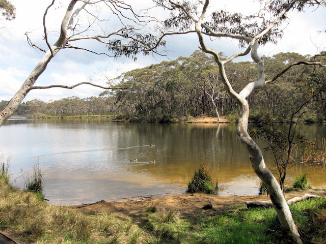
Wentworth Falls Lake was created in the early 1900s to supply water for steam locomotives, by damming Jamison Creek.

Wentworth Falls Lake Reserve has a picnic area and children's playground with sandstone sculptures, based on seed pods of local plant, nearby. There is a walking track around the lake, of about 3.5 Km. in length. (this includes some walking along Waratah & Banksia Rds.)

Much of the lake is surrounded by sensitive hanging swamp, which is listed as an 'Endangered Ecological Community'


                              BMCC info                  GPS trace map                       location map